
Product · 3D atlas · 2026
LANTAW
Philippine landscapes rendered live in the browser from NASA data.
- Status
- Live
- Role
- Concept, design, engineering
- Stack
- Three.js · WebGL · NASA SRTM
- Built by
- Vibe Coders PH
The work
What it is
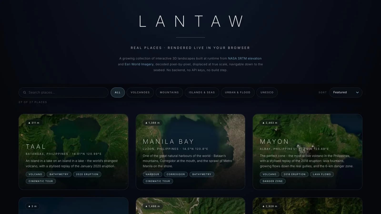
LANTAW is a living 3D atlas of Philippine land, water, memory and risk. It holds 28 places so far, from Taal and Mayon to Banaue and El Nido, each rendered as terrain you can orbit and drop into.
Lantaw is Bisaya for to gaze, to look out over. The atlas is built for that: cinematic tours of real data, not a map with a 3D skin.
How it is made
Every landscape is built at runtime from NASA SRTM elevation data and imagery decoded pixel by pixel, displaced at true scale, navigable down to the seabed. There is no backend and no API key.
Every layer is labelled with its source, including the stylised replays of the 2018 Mayon and January 2020 Taal eruptions.
What shipped
- 28 Philippine places rendered live from elevation and satellite data
- Cinematic tours with every layer labelled by source
- No backend, no API keys, no build step

Building something like this?
Vibe Coders PH builds tools, films and stories with AI. If you want one built, or you want to learn how, the community is open.